AFBI are part of the UK Environmental Change Network (ECN) which is a long-term, environmental monitoring and research programme. The ECN project uses the results of monitoring data to detect trends in environmental data and interpret any changes observed. ECN was launched in 1992 and the collection of data started formally in 1994 at freshwater sites.
Background
Information on the ECN sites in the UK can be found at: hwww.ecn.ac.uk/sites. The sites in the ECN network are sponsored by a consortium of 14 UK government departments and agencies throughout the UK, in Northern Ireland the ECN network is supported by the Department of Environment, Agriculture and Rural Affairs. The network is coordinated by the Centre for Ecology and Hydrology, who manage the data and make it available through their ECN website.
The ECN project also has several sub-projects that AFBI are involved in such as UKLEON which uses the latest sensor technology to keep us up to date with water chemistry changes in Lough Erne: hwww.ceh.ac.uk/our-science/projects/uk-lake-ecological-observatory-network-ukleon
Data collection
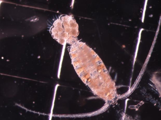
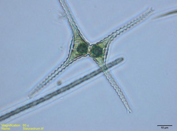
A wide range of data from our two largest lakes, Lough Neagh and Lough Erne, and the River Bush are collected every two weeks by AFBI freshwater scientists. Data collected includes weather data and water chemistry parameters such as dissolved oxygen, pH and conductivity. We also take water samples and analyse them in our Chemistry lab to determine the concentration of plant nutrients such as nitrogen and phosphorus. Biological data on lake phytoplankton and zooplankton is collected and analysed in our Freshwater Ecology lab.
Lough Neagh
Lough Neagh is our largest ECN site on the island of Ireland. It has an area of approximately 383 km2 and volume of 3.45x10⁹ m3 it is the largest area of freshwater in the United Kingdom. The water has become much enriched in the last 60 years as a result of eutrophication. The lake has conservation designations under European law and is a wetland of international importance under the Ramsar Convention. The lake catchment is mostly agricultural grassland. Point source pollution in the late 1960s led to large algal blooms but since 1981 point sources of nutrients have been reduced and diffuse sources became more dominant in the lake’s eutrophication. The high levels of phosphorus in the Lough act as a fertiliser for phytoplankton which occur in large blooms. The dominant alga is the cyanobacteria
Planktothrix agardhii.
River Bush
The River Bush enters the Atlantic Ocean at the North Antrim coast of Northern Ireland. Rising in the Antrim hills, the river flows through a valley devoted to agriculture. The river supports indigenous stocks of Atlantic salmon and brown trout.
Lough Erne
The lake is situated in County Fermanagh, Northern Ireland; it has a surface area of approximately 110 km
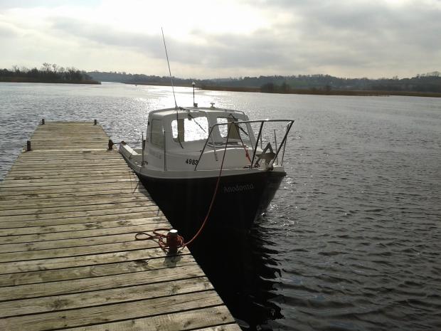
2. The Lower Lough has become increasingly enriched with plant nutrients over the last century. The water samples for the ECN project are taken at the deepest part of Lower Lough Erne (approx. 60m depth) from our small research vessel The Anodonta. Lower Lough Erne has recently been invaded by an alien species of mussel, the zebra mussel (
Dreissena polymorpha) which has dramatically lowered the chlorophyll concentrations of the Lough through its filter feeding. In 1997 mean annual chlorophyll-a concentrations were approximately 10 µg/L, in 2013 levels were <5 µg/L. Changes in light levels and the effects of nutrient concentrations have been observed by AFBI and provided useful information for researchers and water quality managers.


